


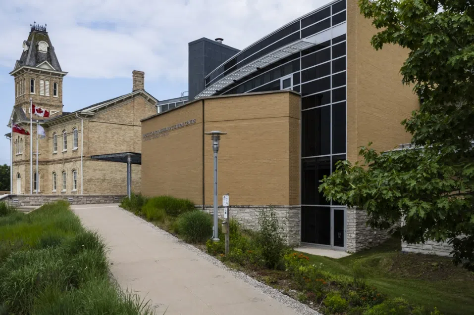
The Bruce County Museum & Cultural Centre among other partners are launching The Biinaagami Giant Floor Map, a new augmented-reality storytelling tool to show and teach peop

Credit: Bruce County Museum/ Facebook
le of all ages about the significance of water in the Great Lakes region.
The map was created by Canadian Geographic, the map’s purpose is to draw interest, responsibility, and protection for the lands and waters that sustain our communities. The experience uses AR to share indigenous wisdom and leads users along a path Anishnaabae Water Walker who is a ceremonial walker who journeys along lakes and rivers to honour water as a living, sacred relative and to call attention to its protection.
Visitors to this exhibit will hear original languages and place names connected to the waters, inspect land use along waterways across the region and consider whose lands those waters flow through. Users can pinpoint places they know and discover new ones that generate curiosity which leads to future exploration. “Water almost completely surrounds the Saugeen Ojibway Nation Territory. Lakes, rivers, and shorelines are a major part of daily life for the people who live here. Water is more than something we use — it is life,” says Bluewater District School Board Indigenous Advisor Rebecca Chegahno.
“Water connects people, animals, plants, and the land. It is essential for every form of life. Through the Binaagami Water Map, students will learn about their relationship with water, which will help all of us to understand how to care for it today, so that future generations will continue to have access to fresh, clean water”, says Chegahno.
The Museum will celebrate the launch of Biinaagami Map on Wednesday March 25th, 2026. The launch party will be held at the James Mason Community Centre in Saugeen First Nation.
Following the launch, the map will become a bookable resource for teachers within the Museum’s online Education Centre at brucemuseum.ca/education-centre.