


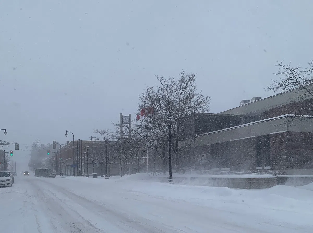
A snowy day in downtown Owen Sound. (Matt Hermiz/Bayshore Broadcasting News)
Environment Canada says the recent winter storm events in Grey Bruce dropped around 60 centimetres of snow.
Warning Preparedness Meteorologist Geoff Coulson says between the winter storm warning over the weekend and the snow squall warning on Tuesday, the observation site at the Wiarton Airport measured a little over 64 centimetres of snow.
“The snowfall total so far for this winter at the Wiarton Airport site, stands at 396.6 centimetres, and in fact that is already more than the average snowfall for a whole winter at that site, which is 385.1 centimetres,” says Coulson.
So far for February, the Wiarton site has measured 92.2 centimetres and Coulson says the long-term average for this month is 73.5 centimetres.
He adds while the snowfall is not setting any new records, the region is above average for the amount of snow it typically sees this time of year.
“We have still got a little ways to go in the month and we are already well above that long-term average for February,” says Coulson. “The closest we have come in terms of records for the monthly snowfall totals actually happened back in January. In January the site reported 168.8 centimetres of snow and that was the seventh snowiest January on record at that site.”
Looking ahead, Coulson says the region can expect more flurries over the coming days, but the strong bands of lake effect snow have tapered off.
“Some general flurry activity expected, then another weather system passing through on Thursday will give a general snowfall to the area, just a couple of centimetres expected and then go right back to off and on flurry activity as we head into the weekend. Some of the flurries on Saturday and Sunday might be briefly heavier than the lighter variety than we are expecting over the next few days, but in general, it does look like a quieter stretch of weather as we head into the weekend,” says Coulson.